Administrativ Localitati Ape Relief Land Cover/Use Drumuri Puncte de interes
Order online! Comanda online!
  Romanian  English  France  German  Spanish 
   Home
   Lobby for the map
   General
   Practic
   Partners
   Stage
 Log
 Relief
 Hydrography
 Administrative
 Roads
 Railways
 Localities
 Toponyms
 Danube Delta
 Electric lines
 Land cover
 Details
   Download
   In Memoriam
   Info
geo-spatial.org


Click pentru imaginea marita
  Objective
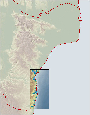
  Fulfillment of a layer that includes the level curves for the entire Romanian territory (plus a buffer of 10 kilometers). The equidistance between the level curves will be of 40 meters for the mountainous and hill areas and 20 meters for the field areas. Fulfillment of the batimetry of the main lakes and of the coast area of the Black Sea.
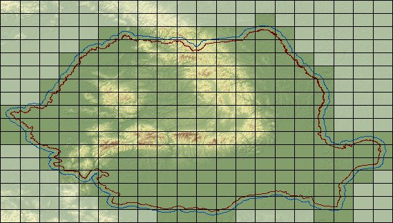
  Persons in charge:
  Stefan Constantinescu, Vasile Craciunescu
  Last update
  15.11.2004
  Contour lines status
Click pentru imaginea marita
  Fulfilled    In construction     Frontier    Buffer 10 Km
  Black Sea bathimetry status
© 2004-2007 Vasile Craciunescu