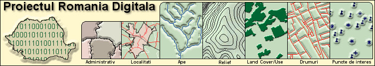
NetSET recognizes shapefile (.shp) folders and through other known GIS applications. The product allows import/export operations of the folders in.dxf, .dwg format etc.
The NetSET software product package can be extended by adding a new function, adjusted to the client’s requirements. NetSET is available in the following variants:
1. work-station
2. client-server
3. web-server
INTRANET CJ is a complex application, integrated, based on the own client-server GIS platform and on the Oracle data base system, implementing the e-Administration functions specific to departments of a County Counsel. Our solutions, based on the COM and DCOM technologies, allow maintenance in use, as data terminals, of the less performance equipments, already existing, especially at the level of the county counsels of the communes. Next to INTRANET CJ system price, smaller than other similar offers, our solution, that allows using the already existing equipments, contributes a lot to the reduction of the initial investor effort.
e-AGRO-GIS INTRANET is an utility application destined to the monitoring of the activity of agricultural exploitations. It allows centralization of the data from the territory and rapid set up of thematic reports according to the needs of the County. Directions for Agriculture and Rural Development in accordance with the requests of the Ministry of Agriculture, Forests, Waters and Environment. It is an integrated system with an Oracle data base platform that eliminates the financial efforts and technological difficulties generated by the integration of some disparate applications. It allows the client to build a modern and efficient IT environment that offers real and exact information, contributing at the optimization of the decision making process (for example, granting subventions to agriculture suppliers).
e-SILVIC-GIS INTRANET – utility application due to contribute at the rigorous evidence of forest exploitations and to the long-lasting administration of the forests. It allows the evidence of forest exploitations, of reafforestated surfaces, of the hunting fund, of the works needed to be done so that it should remove the soil erosion effects and landslips.
The complex application e-SILVIC-GIS INTRANET is also integrated in the Oracle data base platform and offers the possibility of setting up some synthesis reports, in accordance with the requirements specific to the field, being a support instrument for decision making.
Data Invest Products and services answer the requests expressed through concepts of e-Government, e-Administration and e-Marketing and speaks to a large range of users, from the most varied fields, including those on the extern market:
Central and decentralized public services: e-Government, Defense, Cartography and Cadastre, Agricultural Exploitations, Civil Protection, People Record, Firefighter Service, Ambulance, Health Insurances System, Protection of Environment, Forest Administration etc.
Local and county public administration: e-Administration, Municipal Cadastre, Construction Authorization, Release of Urbanism Certificates, Planning, Monitoring Public Transportation, Security Services etc.
Bulk and retail sale: e-Management and e-Marketing for distribution networks, competition monitoring etc.
Politica: Politics: political and electoral e-Management.