RO.A.D.2021.20 Launch
RQA, a Garmin technology dealer in Romania, has the pleasure to announce the availability of the new edition of the Digital Atlas of Romania v13.20, RO.A.D.2021.20.
Continuing in the well known tradition for the Romanian Garmin customers, the Digital Atlas of Romania holds on to the number one place in the GPS road navigation map charts by bringing an extra 2,550.61 km of roads up to a grand total of 467,579.91 km and the number of POIs raises in this edition to a staggering 958,341 points divided into 535 categories.
RO.A.D.2021.20 is the only GPS navigation map in the world that combines topographic details with a routable road network – including dirt roads and trails – with postal addresses of unequaled precision, towns with extruded 3D blocks of flats and detailed 3D textured models for both old patrimony buildings and new skyscrapers, true landmarks of today’s urban space. Map updates are constant and consistent from one edition to another and are documented in the Map Diaries, where all the contributions and their respective authors are mentioned together with the names of the cities and the map tiles that have changed.
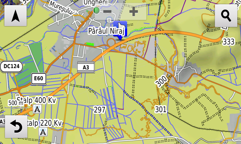
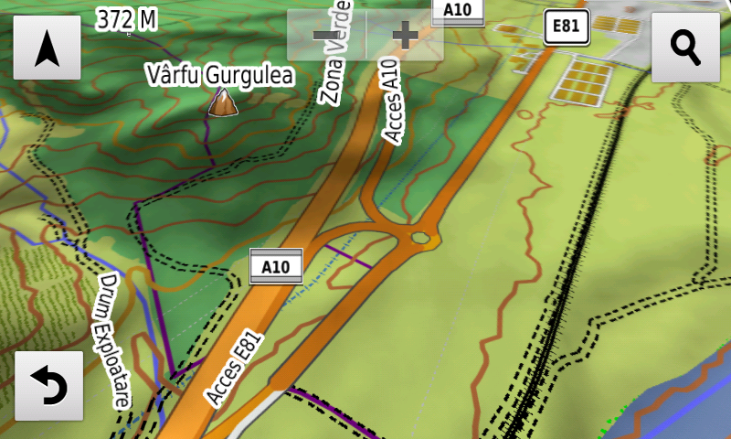
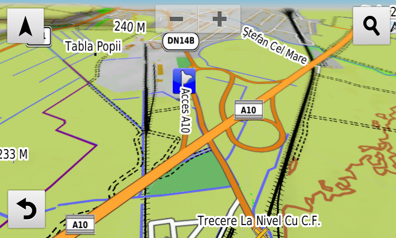
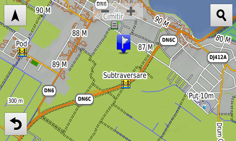
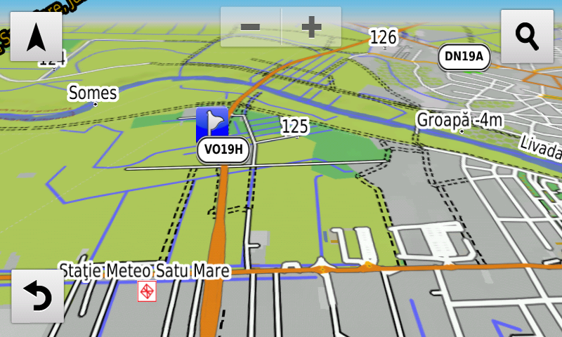
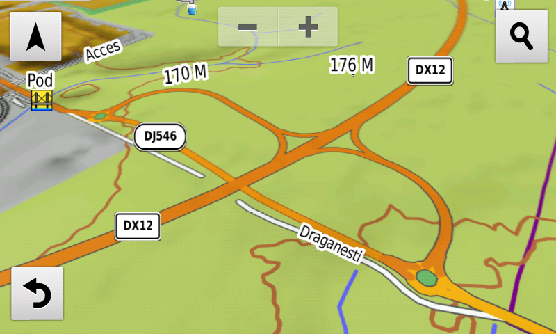
Compared with common maps on the market, the Digital Atlas of Romania has an unequaled level of detail, coverage and actuality, featuring the final configuration of the interchanges Slatina, Piatra-Olt, Brăneţ and Balş de pe DX12, the eastern ring of Giurgiu, the Mihăileşti ring, the A3 Ungheni-Târgu Mureş motorway section including the Ungheni interchange and the Târgu Mureş link road,the A10 Alba Iulia-Teiuş motorway section including the Teiuş interchange, the Mogoşoaia DNCB overpass together with the new turbo-roundabout from the DNCB and Drumul Gării Otopeni intersection, the new configuration of the northern segment of the A1 Bolintin-Deal interchange and its roundabout, the Satu Mare ring as well as the temporary configuration of the DNCB Olteniţa intersection. The 5 arch bridge from Vadu, the bridge between Seini and Pomi, the new bridge over Ialomiţa from Şotânga have been mapped and the possibility of auutomatic route calculations has been restored of the Vadu Paşii and Turda bridges.
The railroads from marshalling yards from Dej, Progresul and Giurgiului from Bucureşti ghave been introduced together with the alleys from Parcul Eroilor from Slatina. The villages Seciu, Boldeşti-Scăeni, Vârtop, Moşneni, Pecineaga, Poiana, Moviliţa, Potârnichea, Topraisar, Biruinţa, Dulceşti and Vânători have been introduced at individual address level. The Ştrec cycling road between Reghin and Ibăneşti has also been mapped.
Detailed acces to the retail stores: Lidl and Altex from Slatina, Lidl Balş, Lidl, Penny Market, Kik and Pepco from Luduş, Penny Târgu Mureş, Penny Market Ianca, Penny Mareşal Constantin Prezan from Timişoara, Lidl str. Mureş from Bucureşti, Dedeman, Kaufland and Penny Mărăşeşti from Focşaniis now available. New oneway streets and speed restrictions have been added together with 57 (fiftyseven) new roundabouts.
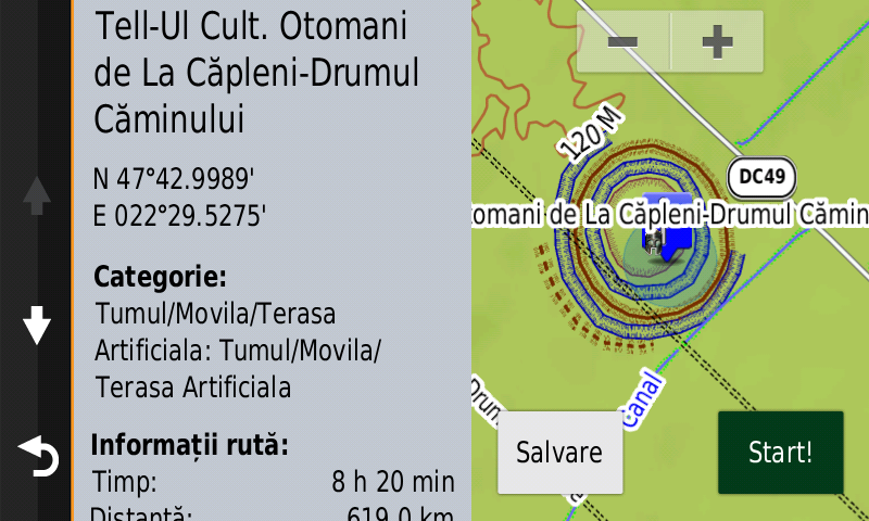
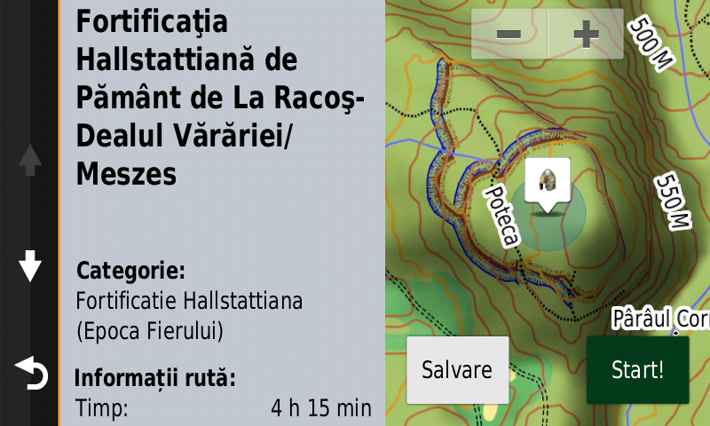
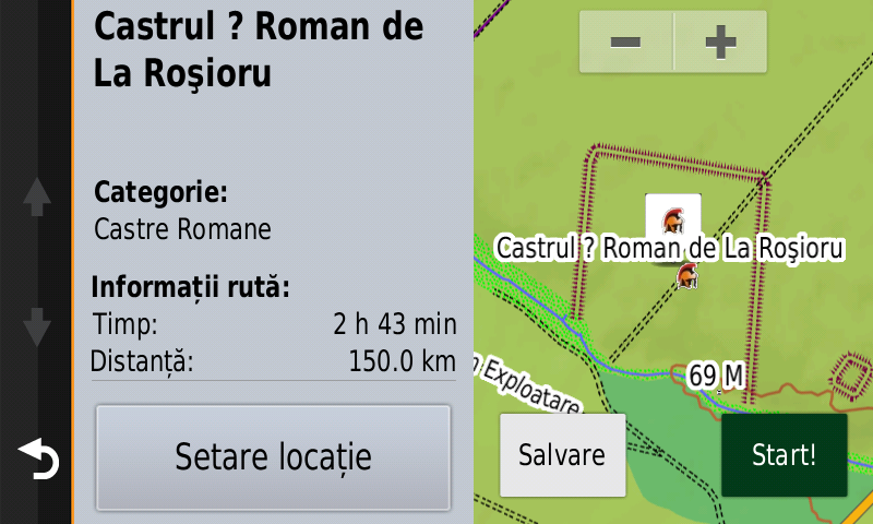
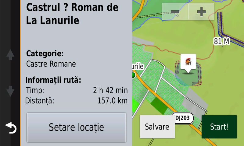
History aficionados will discover in this edition in premiere the detailed elements (ramparts, ditches) of the Otomani Culture Tell from Căpleni-Drumul Căminului, the detailed elements (ramparts, ditches) of the early getae stronghold from Cotu-Copălău, the detailed elements (point, ramparts, ditches, terraces, rapids) of the iron age fortification from Racoş-Dealul Vărăriei/Meszes, the dacian stronghold from Pleaşov-La Cetate/Reduta Neamţului has been relocated. The detailed elements of the Acidava roman castrum from Enoşeşti and of the Caput Stenarum roman castrum from Boiţa-În Rude have also been reconfigured, the aspect of the legionary roman march castrum from Perişoru has been corrected, the detailed elements (point, rampart, fossa) of the presumed roman fortification from Gurghiu-Valea Sărată, the detailed elements (point, rampart) of the presumed roman castra from Roşioru and Lanurile, the detailed elements (point, rampart) of the presumed roman Burgus from Roşioru, the detailed elements (point, fossa) of the presumed roman fortifications from Tia Mare have all been mapped. The detailed elements (walls, access) of the medieval Landskrone fortress from Tălmaciu were mapped, the detailed elements of the medieval Arxavia fortress from Câinenii Mari have been updated, the detailed elements (rampart) of the medieval stronghold from Berveni-Holmoş was mapped together with the roman? and first world war fortifications and circular marks from Cealmagea. Various heroes comemorative monuments from the two world wars have been mapped as well.
Featuring an original concept, with updates three times a year, the result of 18 years of continuous development of the experts and contributors of the Digital Romania Project team (www.romaniadigitala.ro), the Digital Atlas of Romania is the choice of professionals in all fields and the preferred navigation tool for all nature goers.
This edition has 1.62 GB in size and runs exclusively on Garmin navigation equipment, an updated list of compatibility being available at the below link:
http://www.rqa.ro/produs.php?id=442&subcat_id=39&cat_id=19
Warning!
The use of RO.A.D.2021.20 map can create addiction to quality, value, functionality and beauty!