RQA, a Garmin technology dealer in Romania, has the pleasure to announce the availability of the new edition of the Digital Atlas of Romania v15.30, RO.A.D.2023.30.
Continuing in the well known tradition for the Romanian Garmin customers, the Digital Atlas of Romania holds on to the number one place in the GPS road navigation map charts by bringing an extra 1,425.52 km of roads up to a grand total of 474,826.77 km and the number of POIs raises in this edition to a staggering 1,013,987 points divided into 538 categories.
RO.A.D.2023.30 is the only GPS navigation map in the world that combines topographic details with a routable road network – including dirt roads and trails – with postal addresses of unequaled precision, towns with extruded 3D blocks of flats and detailed 3D textured models for both old patrimony buildings and new skyscrapers, true landmarks of today’s urban space. Map updates are constant and consistent from one edition to another and are documented in the Map Diaries, where all the contributions and their respective authors are mentioned together with the names of the cities and the map tiles that have changed.
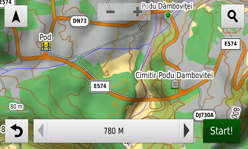
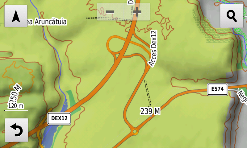
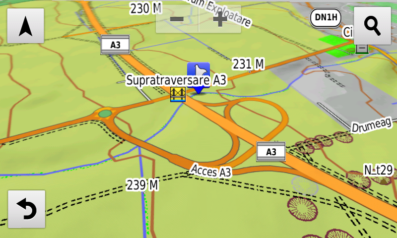
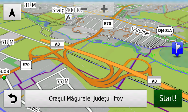
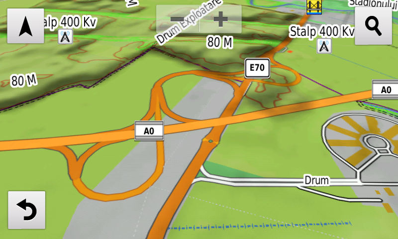
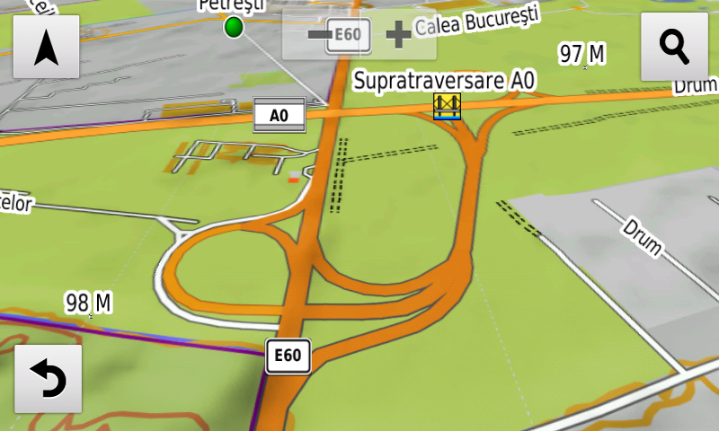
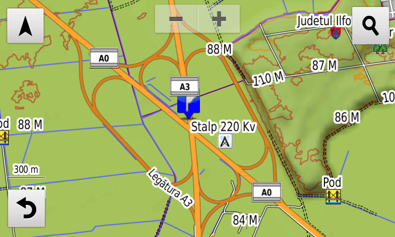
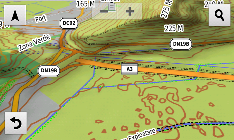
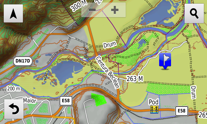
Compared with common maps on the market, the Digital Atlas of Romania has an unequaled level of detail, coverage and actuality, featuring the B5 segment of the A3 motorway between Nădăşelu & Marca, the 2nd lot of the A0 North motorway between DN1 & A3, the 2nd lot of the A0 South motorwaybetween DN6 & DN5, the A3 segment between Câmpia Turzii & Cheţani, the 3rd lot (Valea Mare-Coloneşti) of DEx12 together with the Negreni node & the temporary connection from Coloneşti, the Beclean ring, the Micălaca passage from Arad, the extension to 4 traffic lanes on DNCB between A1 & the Domneşti overpass, the DN2S segment that links the Suspended Bridge over the Danube to Jijila, the railroad overpass and the new segment of Nordului street from Brăila, the new bridge over Dâmboviţa from Podu Dâmboviţei, the new bridge over Someş between Potău & Caraşeu, the breakthroughs Sfinţii Voievozi & Sabarului from Popeşti-Leordeni, Nicolae Teclu & Oţetului from Cluj-Napoca and Iancu Bacalu from Iaşi.
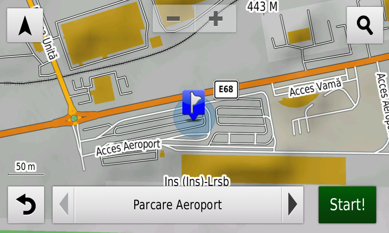
The access to the Ştefăneşti 2 WDP Industrial Park logistical center, the marshalling yards of the Baloteşti and Căciulaţi train stations, the new configuration of the access and parking to the Sibiu Airport, detailed access to the Bacău Agrement Island and the airfield runway from Târgu Jiu-Barza have been mapped.
Cumpăna has been introduced at individual street address level.
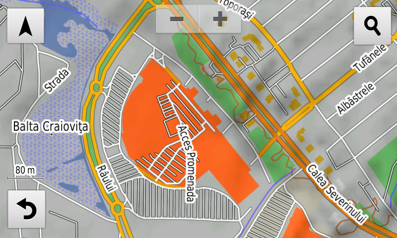
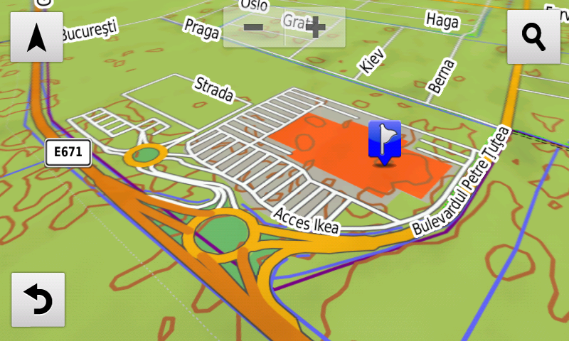
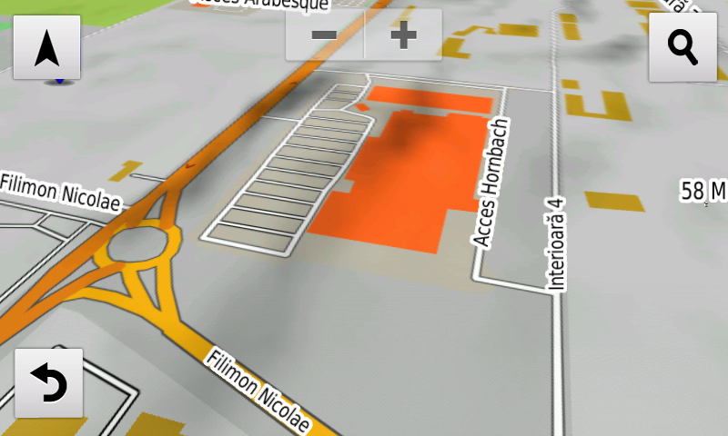
Detailed acces to the retail stores: Penny Ştefăneşti, Kaufland Râşnov, Ikea, Profi Super & Galaxy Shopping from Dumbrăviţa, Carrefour Market, Pepco & Kik from Giroc, Kaufland Săcele, Lidl Spicului, Lidl Avram Iancu, Mega Image Egretei, Coresi Street, Kaufland Tractorul & Lidl Turnului from Braşov, Mediagalaxy, Pepco, Jysk & Nepi from Satu Mare, Profi & Penny from Câmpia Turzii, Carolina Mall from Alba Iulia, Lidl & Profi City 1 Decembrie 1918, Kaufland, Dragon Shop & Penny Bistriţei from Piatra-Neamţ, Lidl Ştefan cel Mare from Bacău, Paşcani Shopping City, Profi Zorilor Cluj-Napoca, Lidl Grădişte from Arad, Promenada Commercial Center, Dedeman, Penny & Kaufland Tineretului from Craiova, Evora Commercial Center from Reghin, Hornbach Constanţa, Piaţa Progresul and Piaţa Obor from Bucureşti as well as Mega Image Sântandrei has been introduced. New oneway streets and speed restrictions have been added together with 78 (seventyeight) new roundabouts.
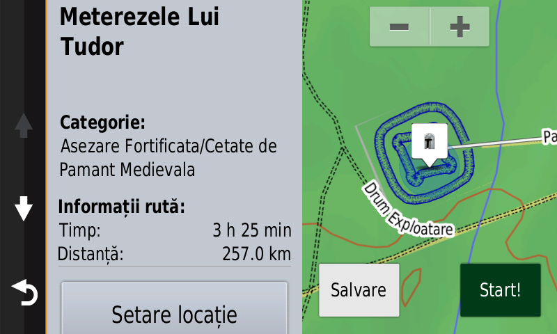
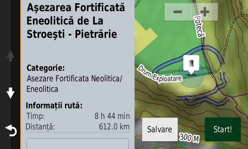
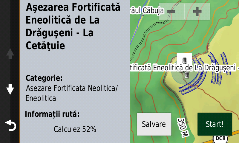
History aficionados will discover in this edition in premiere the detailed elements (ditches) of the fortified eneolithic settlements from Stroeşti-Pietrărie & Drăguşeni-Cetăţuie, the detailed elements (ditches) of the Bronze Age fortified settlements from Andrid-Corlate & Andrid-Dealul Taurilor, the detailed elements (tumuli points, edges & areas) of the Bronze Age tumular necropolis from Lăpuş-Podanc, the detailed elements (point, fossa) of a possible Roman march castrum at Sărata-Dumbrava, the detailed elements (ditches) of the Meterezele lui Tudor from Padeş, the detailed elements (rampart, ditch) of a previously unknown square fortification from Tudor Vladimirescu, the likely ditch of the mediaeval fortification from Bogata-Cetate and the WW2 trenches from Râpa de Jos-Pădurea Agrişului. Various other heroes’ comemorative monuments from the two world wars have been mapped as well.
Featuring an original concept, with updates three times a year, the result of 20 years of continuous development of the experts and contributors of the Digital Romania Project team (www.romaniadigitala.ro), the Digital Atlas of Romania is the choice of professionals in all fields and the preferred navigation tool for all nature goers.
This edition has 1.63 GB in size and runs exclusively on Garmin navigation equipment, an updated list of compatibility being available at the below link:
http://www.rqa.ro/produs.php?id=442&subcat_id=39&cat_id=19
Warning!
The use of RO.A.D.2023.30 map can create addiction to quality, value, functionality and beauty!