RQA, a Garmin technology dealer in Romania, has the pleasure to announce the availability of the new edition of the Digital Atlas of Romania v12.02, RO.A.D.2020.02.
Continuing in the well known tradition for the Romanian Garmin customers, the Digital Atlas of Romania holds on to the number one place in the GPS road navigation map charts by bringing an extra 997.44 km of roads up to a grand total of 453,388.31 km and the number of POIs raises in this edition to a staggering 905,141 points divided into 523 categories.
RO.A.D.2020.02 is the only GPS navigation map in the world that combines topographic details with a routable road network – including dirt roads and trails – with postal addresses of unequaled precision, towns with extruded 3D blocks of flats and detailed 3D textured models for both old patrimony buildings and new skyscrapers, true landmarks of today’s urban space. Map updates are constant and consistent from one edition to another and are documented in the Map Diaries, where all the contributions and their respective authors are mentioned together with the names of the cities and the map tiles that have changed.
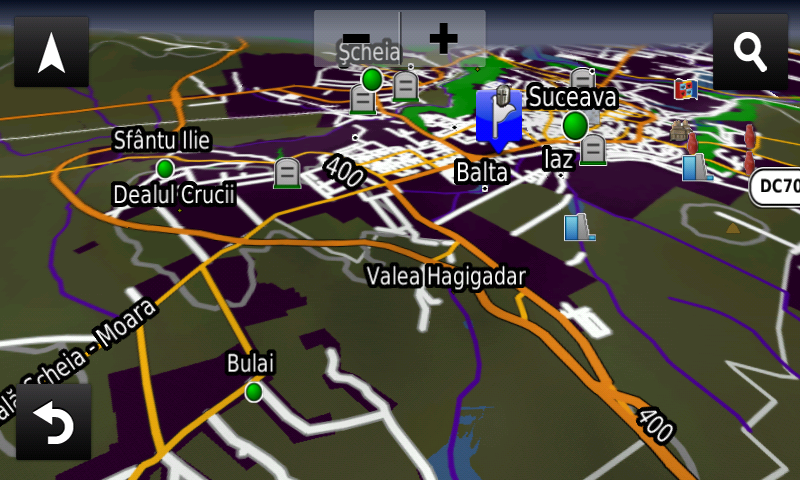
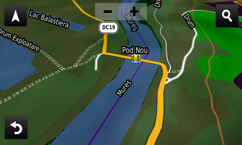
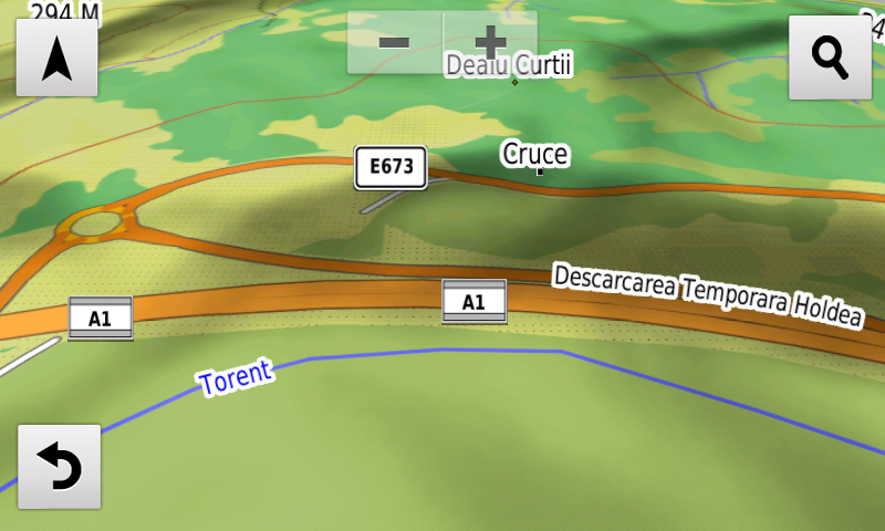
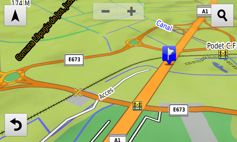
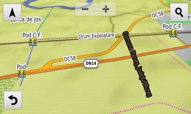
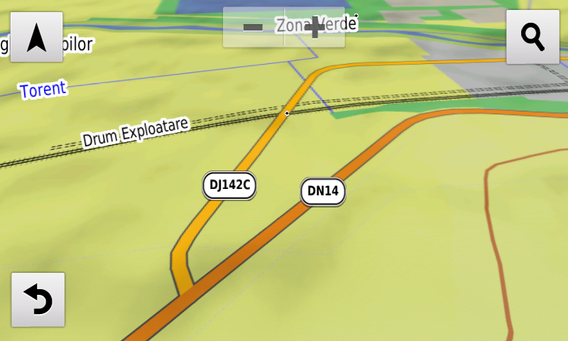
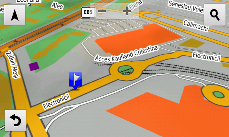
Compared with common maps on the market, the Digital Atlas of Romania has an unequaled level of detail, coverage and actuality, featuring, among others, the Suceava ring, the Tudor Vladimirescu road bypass from Râmnicu Vâlcea, the road deviation from Oiejdea, the road overpass from Lancrăm, the new bridge over the Mureş from Căpud, routing through the Şendreni (Galaţi) crossing has been reconfigured, the possibility of automatic route calculations over the 3rd segment, Holdea-Ilia – opened for public traffic on the 23rd December 2019 – of the A1 motorway has been introduced, the railroad overpasses from Dumbrăveni and Daneş and the Electronicii penetration from Bucureşti have also been introduced.
The appearance of the unpaved roads, trails, residential roads and driveways has been modified so that they can stand out clearly from the environment, also the aspect of pipelines and power lines has been changed.
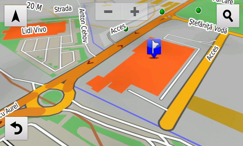
Detailed access to the retail stores: Lidl Botoşani, Lidl Găeşti, Lidl I.C. Brătianu from Târgovişte, Lidl Vladimirescu, Penny Market and Carrefour Market from Râşnov, Supeco Focşani, Carrefour Market from Valea Călugărească, Kaufland Vivo from Constanţa, Penny Market from Cernavodă, Dedeman and Lidl Primăverii from Iaşi, Kaufland and Pepco from Paşcani and Penny Market from Clinceni. New one way streets and speed restrictions have been added together with 40 (fourty) new roundabouts.
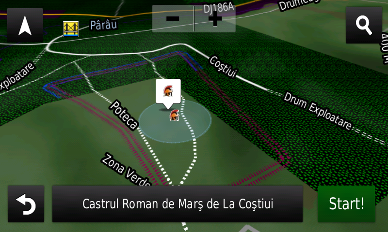
History aficionados will discover in this edition in premiere the detailed elements (ditches) of the fortified settlements of undetermined age from Homiceni and Văleni-La Cetăţue, the detailed elements (ramparts, ditches) of the iron age stronghold from Bucecea-Pădurea Găvanului, a possible Dacian tower was mapped at Sarmizegetusa Regia, the possible trajectory (previously unknown) of the continuation of the Sacred Way to the West of the fortress, the detailed elements (rampart, ditch) of the Roman march castrum from Coşteiu, a possible Roman burgus and the WW1? Romanian trenches from Rucăr together with the German WW1 trenches from Olăneasca. Various heroes commemorative monuments from the two world wars have been mapped.
Featuring an original concept, with updates three times a year, the result of more than 16 years of continuous development of the experts and contributors of the Digital Romania Project team (www.romaniadigitala.ro), the Digital Atlas of Romania is the choice of professionals in all fields and the preferred navigation tool for all nature goers.
This edition has 1.03 GB in size and runs exclusively on Garmin navigation equipment, an updated list of compatibility being available at the below link:
https://www.rqa.ro/produs.php?id=442&subcat_id=39&cat_id=19
Warning!
The use of RO.A.D.2020.02 map can create addiction to quality, value, functionality and beauty!